
Wildfires & Geography
Flash Point: Living with Wildfire
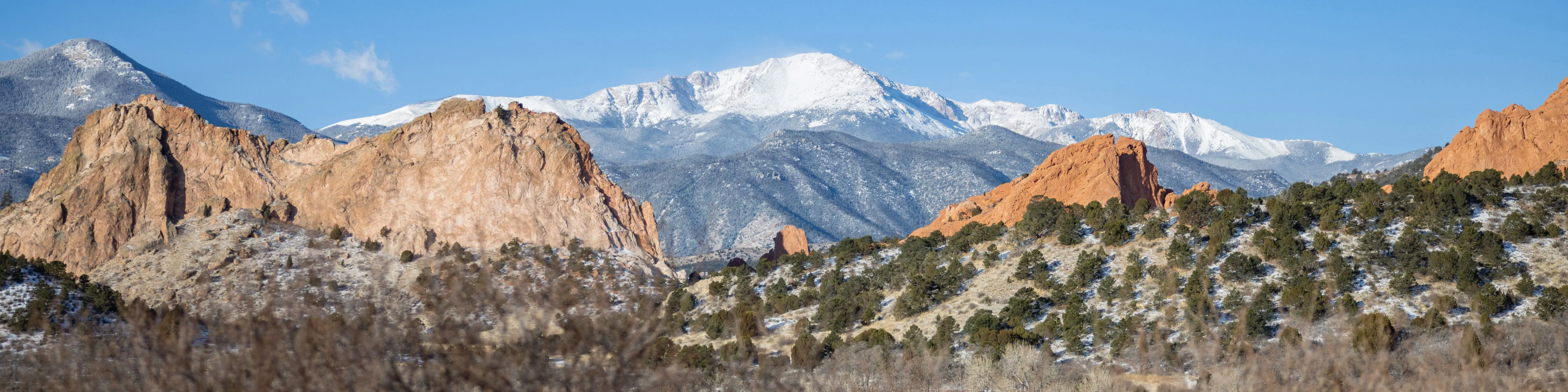
In the wake of last year's destructive wildfires, Colorado's residents, scientists, and government officials have been working hard to manage the ongoing threat. We're not only mitigating our landscapes; we're adapting our very understanding of what it means to reside within reach of mountain forests. Join KRCC News for "Flash Point," a special series produced by Andrea Chalfin and Michelle Mercer on how wildfire is changing life in Colorado.
From the "Colorado Matters" radio series on CPR:
|
High Country News
- Good policy and good intentions won't stop big wildfires
According to the Forest Service, last year wildfires were allowed to consume built-up fuels on about 152,000 acres nationwide...
InciWeb, the Incident Information Portal
InciWeb contains a listing of all fires burning nationally, including proscribed burns and burned areas, along with wildfires currently being fought. Also includes announcements, closures, and maps related to the fires. Extremely useful tool for keeping track of all the fires burning during this fire season.
Miscellaneous Collected Fire Resources:
|
Wildfires and Geographic Information Science
These sites explore wildfire education through cutting-edge geospatial technology and satellite imagery. An excellent compliment to any GIS unit exploring an important topic in Colorado.
ESRI Disaster Response Program
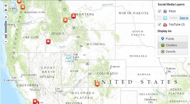
View a continuously updated map of US wildfire locations, perimeters, fire potential areas, global burn areas, and precipitation. See the real-time effects of the fires via social media posts. Wildfire Map and Satellite Images.
National Earth Observatory Global Maps
The fire maps show the locations of actively burning fires around the world on a monthly basis, based on observations from the Moderate Resolution Imaging Spectroradiometer (MODIS) on NASA’s Terra satellite NASA Global Fire Map.